With the HE681 research expedition, the Living Lab 70 GW Offshore Wind successfully completed the second round of field data collection. In June 2026, a team of scientists from the ICBM Oldenburg, the Ludwig-Franzius Institute, and the ISD Hannover was out on the German North Sea aboard the research vessel Heincke. At the same time, measurement flights were conducted by the Institute of Flight Control at the Technical University of Braunschweig.
Looking Back: First Trip in Fall 2025
As early as the fall of 2025, the first cruise (HE671) laid the foundation for the emerging dataset. Immediately following a fall storm, the mission provided valuable insights into the aftermath of extreme weather events. This allowed measurements to be taken not only under typical conditions but also under pronounced dynamic influences. Highlights included the deployment and recovery of free-floating drifters, the documentation of flow directions and velocities on three different spatial scales (on a large scale in and around entire wind farms, in the near field of individual wind turbines, and through stationary long-term measurements at two mooring sites), as well as the analysis of the water body’s optical, physical, and biological properties.
Spring 2026: Focus on Seasonal Changes
In the German North Sea, seasonal changes play a crucial role. While well-mixed conditions dominate in the fall and winter, a stable stratification of water masses with varying temperatures and densities begins to form in the spring. A specific focus of the research cruise was therefore to document the differences compared to the first cruise. The key question was how the altered current patterns around individual wind turbines and entire wind farms might influence this stratified state.
First-ever coordinated measurement campaign from the air and water
In addition to the first retrieval of the long-term monitoring stations—which provide a dataset covering the past seven months—a particular highlight was the coordinated implementation of an extensive measurement program as part of the overall project. This included, among other things, aerial surveys conducted by the Institute of Flight Control at the Technical University of Braunschweig as well as LiDAR measurements by ForWind Oldenburg. This combined data collection made it possible for the first time to conduct a closely integrated analysis of various scales, methods, and overarching processes in the water column and the atmosphere.
The research aircraft from the Technical University of Braunschweig (Institute of Flight Control)—a Cessna F406 equipped with a five-hole probe on the nose boom and additional atmospheric sensors—was operating in coordination with the Heincke. While the ship collected water and current data in the wind farm, the aircraft flew over the same area at the same time, recording how wind farms altered the wind field and the ocean surface. This resulted in a simultaneous dataset extending from the water column through the sea surface and into the atmosphere—a combination that is unique worldwide.
Through measurements taken in and around offshore wind farms during a total of four research cruises from 2025 to 2027, a unique dataset on the interaction between offshore wind farms and the marine environment will be collected.
More information on the measurement campaigns: reallabor.offshore.uol.de/messkampagnen/
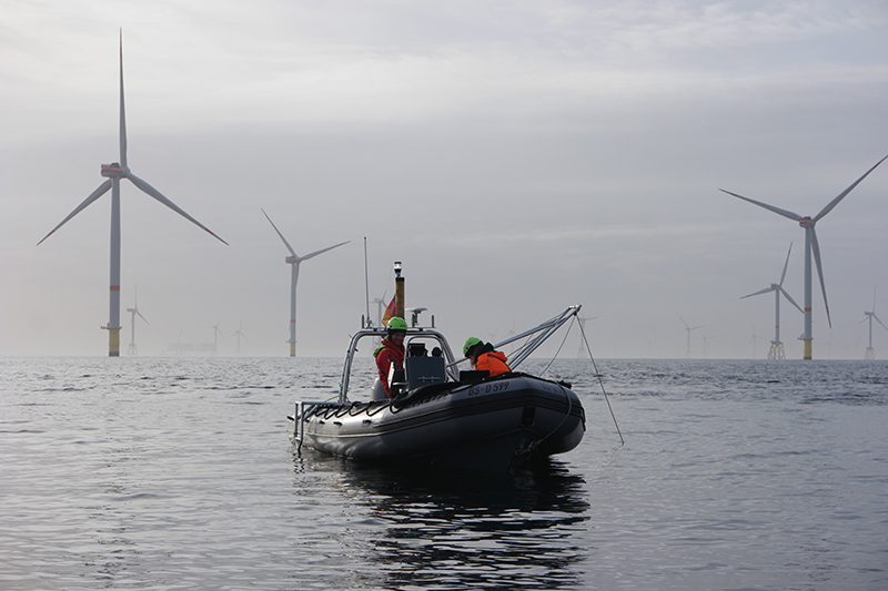
Measurement Campaign_Real-World Laboratory_70GW_Offshore_Wind_1
Image credit: Ludwig-Franzius Institute for Hydraulic Engineering and Estuarine and Coastal Engineering at Leibniz University Hannover
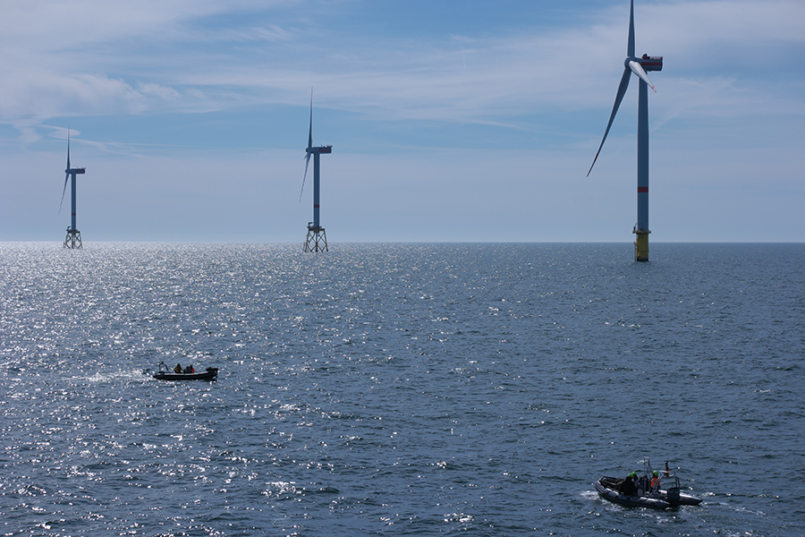
Measurement Campaign_Real-World Laboratory_70GW_Offshore_Wind_2
Image credit: Ludwig-Franzius Institute for Hydraulic Engineering and Estuarine and Coastal Engineering at Leibniz University Hannover
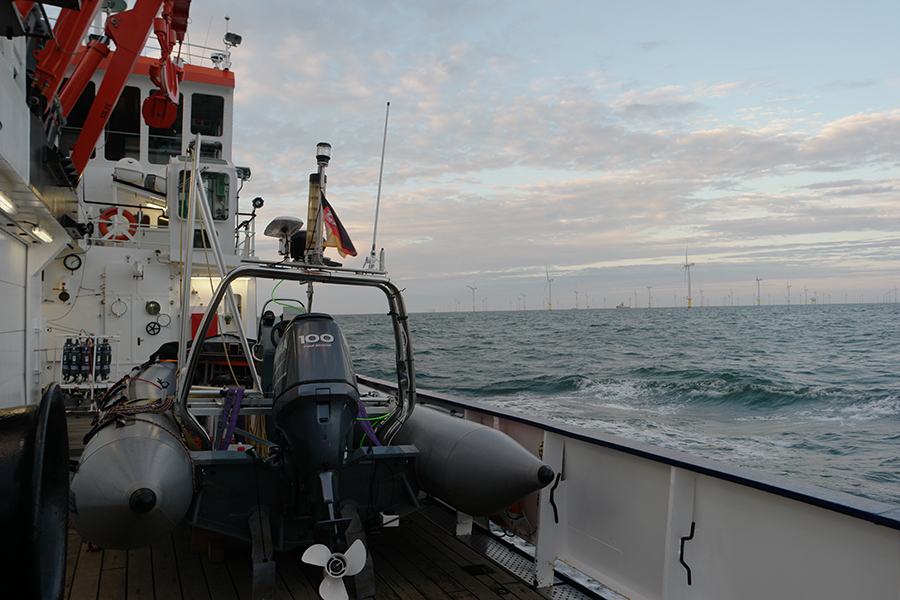
Measurement Campaign_Real-World Laboratory_70GW_Offshore_Wind_3
Image credit: Ludwig-Franzius Institute for Hydraulic Engineering and Estuarine and Coastal Engineering at Leibniz University Hannover

Measurement Campaign_Real-World Laboratory_70GW_Offshore_Wind_4
Image credit: Ludwig-Franzius Institute for Hydraulic Engineering and Estuarine and Coastal Engineering at Leibniz University Hannover
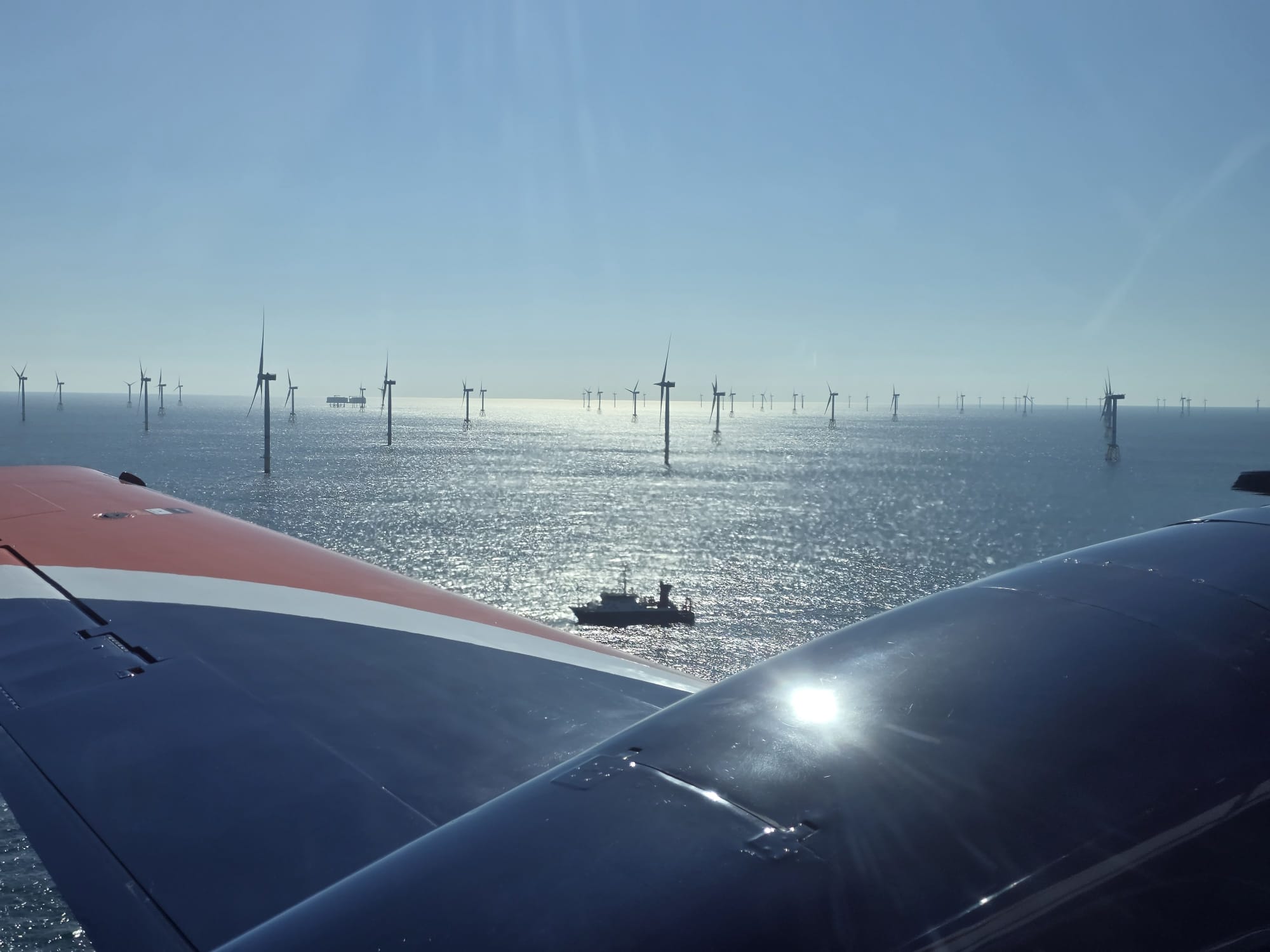
Reallabor70GW_Aerial View_Heincke_Wind Farm
Image credit: Institute of Flight Control at the Technical University of Braunschweig
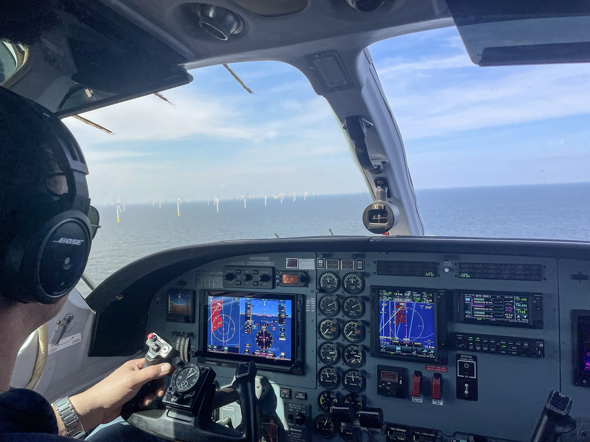
Reallabor70GW_Aerial View_Wind Farm
Image credit: Institute of Flight Control at the Technical University of Braunschweig

